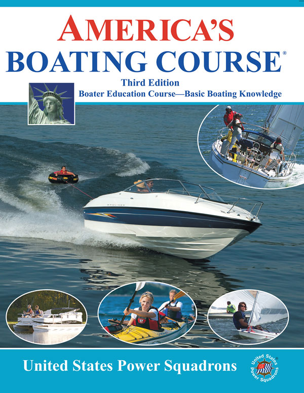
2021 Education Opportunities
 |
Description | Location / Contact |
|---|---|---|
| This introductory course helps boaters understand the required topics that are needed to meet state approved course requirements. This material covers rules of the road, required safety equipment, navigation aids, lights and sounds, anchoring, communications, adverse conditions, water sports safety, trailering, personal watercraft safety, local and federal laws, knots and lines. This course is considered the first step in joining America's Boating Club. | Learn More Here | |
| Online Course | ||
| For more information, contact Steve Rank at 920-743-5469 or Lou Pasquesi at 920-421-2214 | ||
| NWTC Sturgeon Bay-229 N 14th Ave & NWTC Sister Bay-2438 S Bay Shore Dr | ||
| (click here for flyer) |
 |
Description | Location / Contact |
|---|---|---|
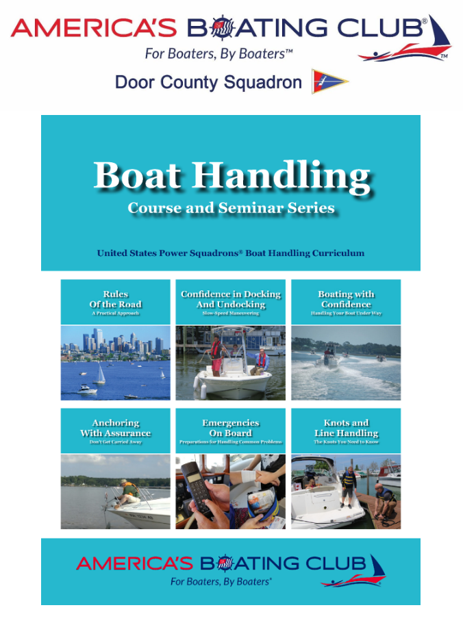
Our new Boat Handling course is intended for newer recreational boaters who have completed a basic boating class (like America's Boating Course) and want to gain more knowledge, skill, and confidence to boat safely and have more fun in a variety of situations.
Boat Handling covers these topics:
|
Learn More Here | |
 |
Description | Location / Contact |
|---|---|---|
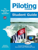
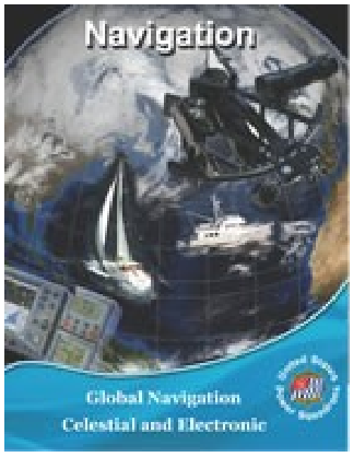
| Piloting is the first of the navigational classes focusing on techniques for piloting a boat in costal and inland conditions. There is a ton of great content and value here, and of all the courses in the ABC curriculum, many agree that Piloting is the one course you can't miss. The course emphasizes planning and checking along with the use of GPS for determining position, and introduces digital charting along with traditional charting, compass and dead reckoning skills. Plotting, labeling, use of the compass, aids to naigation and a host of related topics are included in this all-new approach to coastal and inland piloting. The Student Kit includes the Student Manual, the Plotting and Labeling Guide and instructions for downloading, installing, and using OpenCPN, a marine navigation program that is state-of-the art and in wide use by commercial and recreational boating enthusiasts. | September 25, 2018 | |
| Tuesday Evenings 6:30 - 8:30pm | ||
| Northwest Wisonsin Technical College | ||
| Sturgeon Bay, WI | ||
| For more information, contact Steve Rank at 920-743-5469 | ||
| Description | Location / Contact | |
|---|---|---|
| You sucessfulyl complete Piloting so lets build on those skills before they get rusty! join us to gain coastal and inland navigation skills, this time in situations of unfamiliar waters, limited visibility, and extended cruises. GPS is embraced as a primary navigation tool while adding radar, chart plotters, and other electronic navigation tools. This is a fun course to do as a small group in a classroom setting. | ||
| N/A at this time | ||
 |
Description | Location / Contact |
|---|---|---|
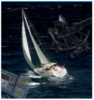
Offshore Navigation (currently offered as Junior Navigation) is the first in a two-part program of study in offshore navigation,
followed by the Celestial Navigation course (currently offered as Navigation.). It is designed as a practical "how to" course.
Subject matter includes:
There are two examination elements for the JN course, the Sight Folder, and an Open Book Exam. The sight folder is graded at the squadron level. The Sight Certification Form will then be submitted with the completed open book exam to Headquarters. Course Materials: Junior Navigation text, 2014, rev. 2017 & the Nautical Almanac. A sextant can be provided. |
 |
Description | Location / Contact |
|---|---|---|
|
After Offshore Navigation (JN), this course is the second part of the study of offshore navigation, further developing the student's
understanding of celestial navigation theory. This Navigation 2015 course deals with learning celestial positioning using other bodies,
in addition to positioning using the sun (covered in the Junior Navigation course). This course also deals with electronic software tools
that can be used to plan and execute an offshore voyage. You will first learn to reduce these sights by the Law of Cosines method. Later in
the course, you will learn an additional method of sight reduction, the Nautical Almanac Sight Reduction (NASR) method. You will also learn
about sight planning techniques. With that knowledge, you will have the tools to take sights and complete your Navigation Sight Folder.
The course includes a chapter on using a software-based voyage planning tool and a navigation program. The final chapter of the course
contains a Practice Cruise that ties the separate elements of the course together.
Course Description Chapter 1. A View of our Solar System A simple overview of how the celestial bodies in the sky appear to us on earth. Chapter 2. Sunrise...Sunset Finding local mean time of solar and lunar phenomena and converting the time of these events to zone time. Chapter 3. Taking Sights and Finding Ho, LHA, and Dec Taking sights on the moon, navigational planets and stars; applying proper altitude corrections to these sights to obtain Ho; applying corrections for low altitude sights; and computing the LHA and declination of these bodies. Chapter 4. Sight Reduction and Plotting by the Law of Cosines Reducing sights of the moon, stars, and planets by the Law of Cosines method; and plotting lines of position (LOPs) for these sights to obtain an estimated position, a running fix, and a true fix. Chapter 5. Sight Reduction and Plotting by the NASR method Reducing sights on the sun, moon, stars, and planets by the Nautical Almanac Sight Reduction (NASR) method; and plotting the lines of position (LOPs) for these sights to obtain an estimated position, a running fix, and a true fix. Chapter 6. Sight Planning Planning your sights to achieve good 2-body and 3-body fixes, using both traditional and electronic tools. Chapter 7. Emergency Navigation Provisioning an emergency navigation kit and constructing emergency plotting sheets; and determining destination coordinates mathematically from course and distance traveled. Chapter 8. Electronics and Software for Offshore Navigation Using a software-based voyage planning tool to plan an offshore voyage (Visual Passage Planner 2); and using a navigation program in executing the voyage (OpenCPN). Chapter 9. Underway A review of the Navigator's duties and USPS Plotting and Labeling Standards; and setting up and using a 900 series plotting sheet. The student will execute a leg of an offshore voyage using both electronic and traditional tools, including celestial positioning. This Practice Cruise is an excellent preparation for the open book exam. Course Materials Navigation text, 2015, the Nautical Almanac, softwarebased voyage planning tools, Visual Passage Planner 2 and OpenCPN. Celestial Tools is extremely helpful. A sextant can be provided. |
| Description |
|---|
|
Beginning in April of this year we will be holding a sail course on Go-to-Meeting. This will be held at NWTC and will include members of Marinette-Menomonie squadron. They will of course join us in the Go-to-Meeting format. The course will run until the end of May giving us good weather to practice our skills on the water. This is exciting because the course will be a joint venture with another squadron. More info to follow as we get closer to course time. |
 |
Description | Location / Contact |
|---|---|---|
| For more information, contact Steve Rank at 920-743-5469 | ||