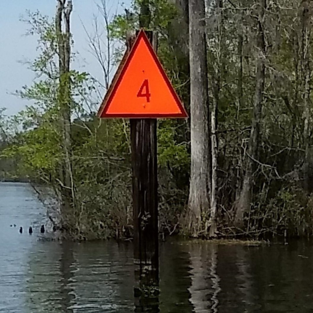
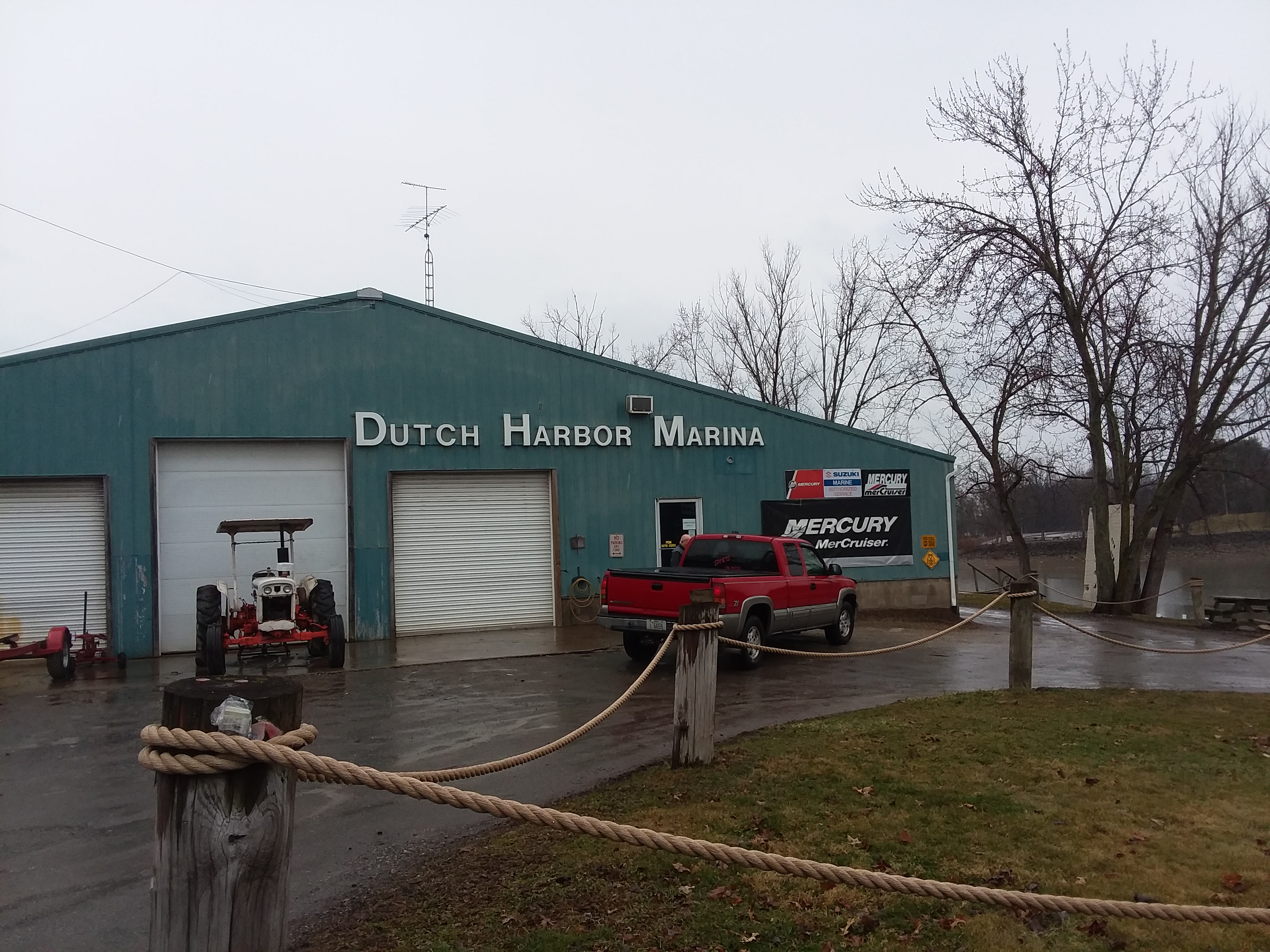
Nautical and Marina Survey Programs
Now that you have completed your field activity, it is time to report your findings.
Check on the link below and fill out the Nautical or Marina Survey Reporting Form and hit submit. It's that easy!
|
|
Nautical ProgramNautical - Standard Operating ProceduresNautical Reporting - Reporting Form |
 |
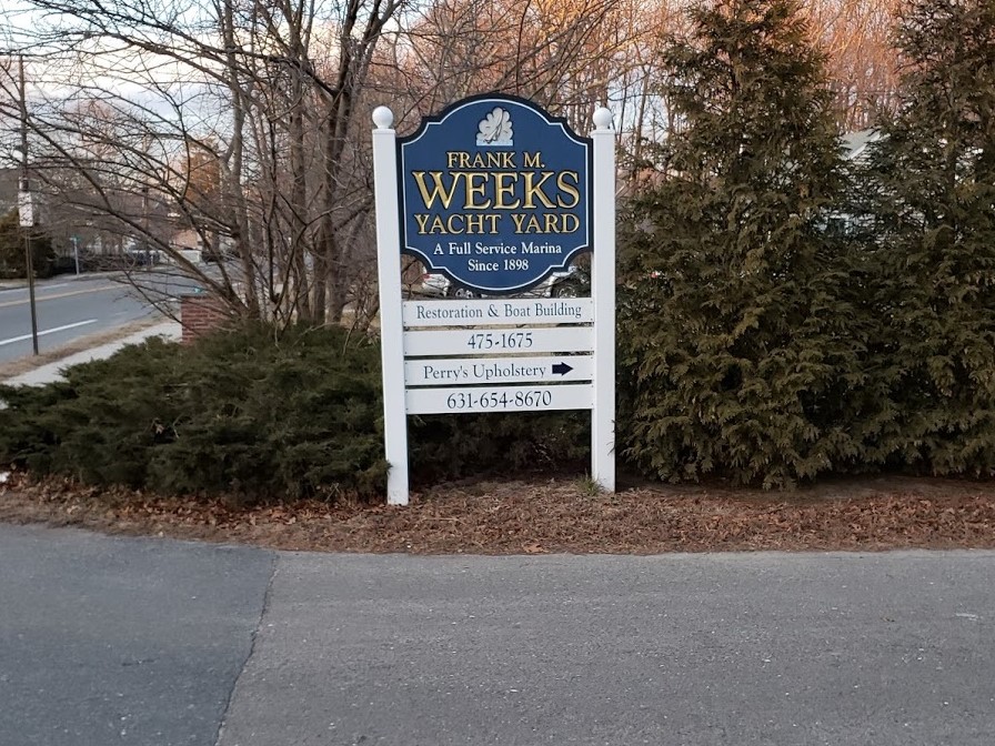 |
Marina Survey - Reporting Formto check the status of the marina (New or Existing) log in to Cruisers Net Database Blank Marina Form:HereUsername: AmericasBoatingClub Password: USPS1914
|
 |
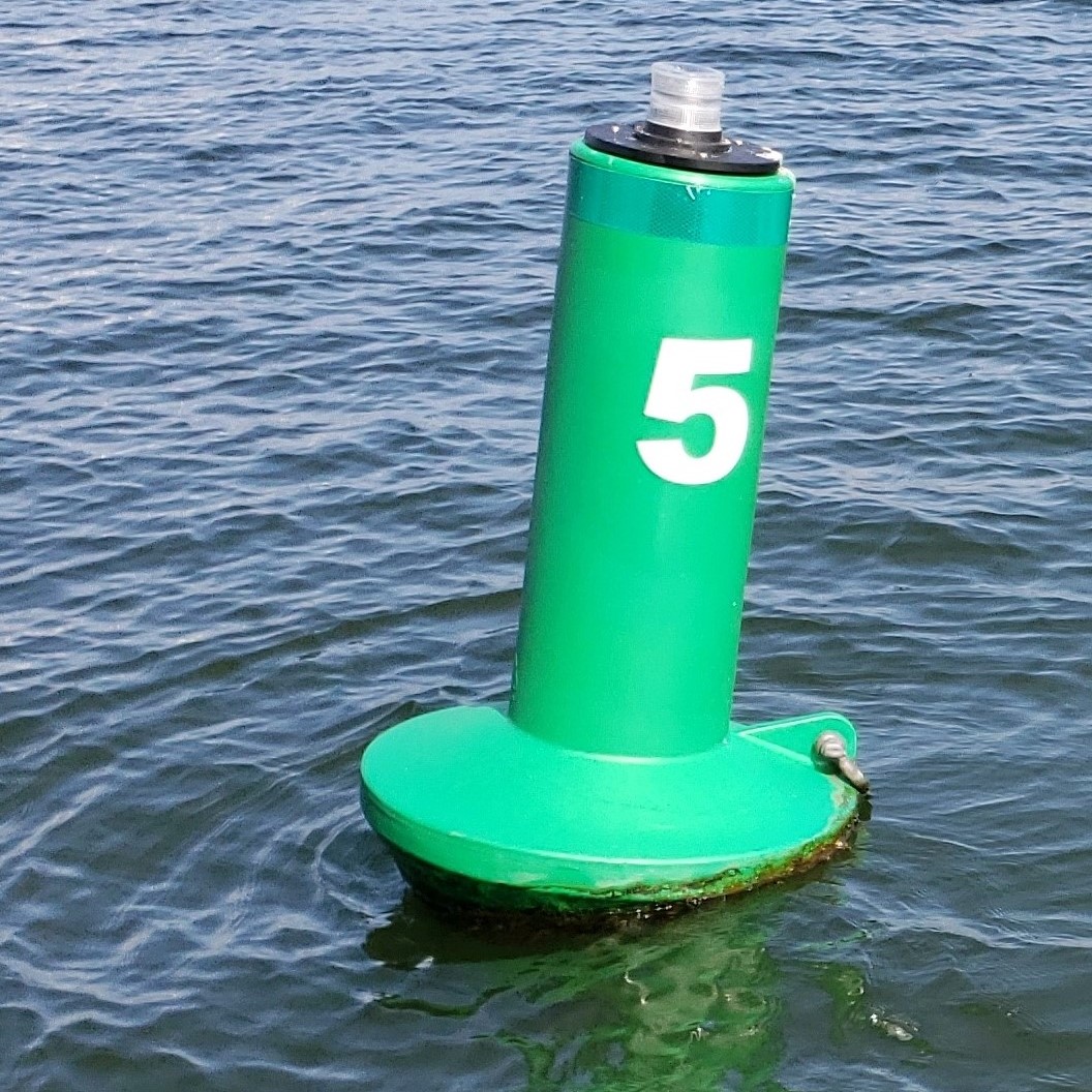
Helpful Supporting Documents that you will need to make a Coop Charting Report
Nearest Light - A program to find a USCG light list number quickly.Nearest Light is a Windows application that finds the lights nearest to your present position, using the monthly Light List updates published by the United States Coast Guard. The full Light List is published in printed and PDF formats but the lights are listed in reference number order and follow the channels. This is not the ideal format for Cooperative Charting, where we are usually working from a GPS. Nearest Light takes care of that problem by utilizing the Light List that is now published in XML form, and searching that list for all the lights in your current area, using a GPS receiver connected to your computer (or a manual position), sorting that list, and showing you all the lights nearest to your position while out on the water. The light list provides additional detail which is not noted on a chart. Discrepancies can be more accurately noted in real-time and when the chart does not match a light list entry that is a discrepancy that can be reported. When preparing for a CoCh survey, Nearest Light can be used to find all the lights in the likely survey area and then print the resulting table for inclusion with the survey worksheets. This lets everyone have the relevant portion of the Light List on hand for reference while surveying, improving the accuracy of CoCh reports. |