|
 |
| Home | Current Events | Educational Programs | Vessel Safety Check | Cooperative Charting |
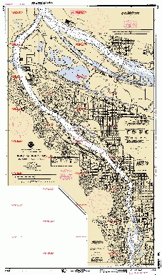 * Our ridiculous legal system requires us to insult your intelligence by telling you that this chart image is not appropriate for use as an aid to navigation. |
The Cooperative Charting program is one of the finest examples of volunteers helping our federal government. Started in 1963, the Cooperative Charting program is the United States Power Squadrons’ effort to assist the National Ocean Service (NOS), which is part of the National Oceanic and Atmospheric Administration (NOAA), U.S. Department of Commerce. The Power Squadrons aids the NOS through its efforts to improve the accuracy of nautical charts, coast pilots, tidal current predictions, aeronautical charts, and other crucial missions of NOS. Through the ability generated by the outstanding educational courses offered by The Squadrons, USPS members are uniquely qualified to provide technical services in the effort to keep America’s charts the most accurate in the world. The Beaverton Sail & Power Squadron has adopted all four of the Willamette River charts, including the Port of Portland chart (#18526) displayed to the left as part of its Adopt-a-Chart Program. Only one other Squadron nationally has more charts as Beaverton! The Willamette River charts under Beaverton's watchful eye are 18526 Port of Portland 18527 Swan Island Basin 18528 Portland to Walnut Eddy 18529 Walnut Eddy to Newberg Over the past twenty-five years, Beaverton Sail & Power Squadron members have turned in hundreds of reports updating these charts. It is a critical service that would otherwise go undone. Many of the chart corrections made by Beaverton members have saved lives and uncounted thousands of dollars of damage that would have resulted through undetected errors in the chart. The United States Power Squadrons and the Beaverton Sail & Power Squadron are proud of the service they provide to America’s mariners through their countless hours of observations and reports keeping our waterways accurately charted! 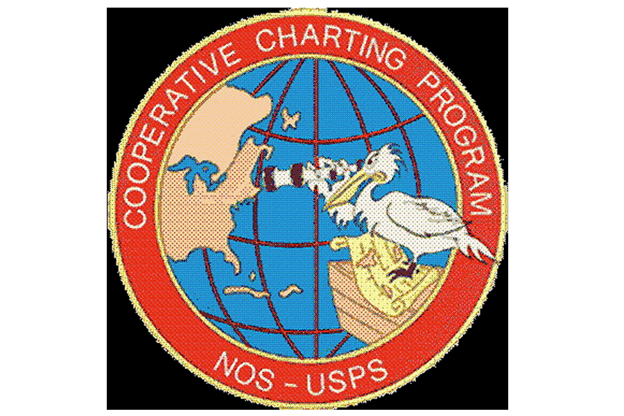
Click on the image at left to see a larger (166K) image of the chart. |